jQuery Vector Map Rendering Plugin - jqvmap
| File Size: | 1.36 MB |
|---|---|
| Views Total: | 11915 |
| Last Update: | |
| Publish Date: | |
| Official Website: | Go to website |
| License: | MIT |
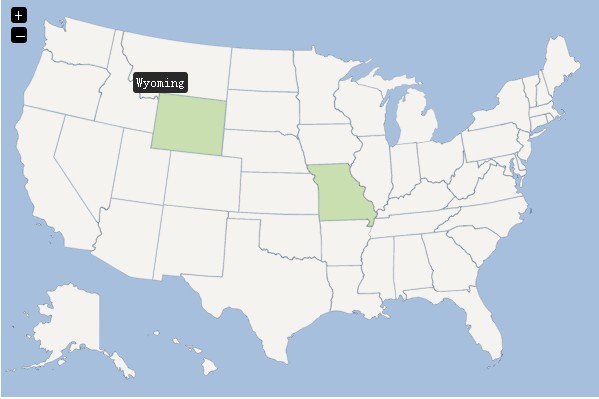
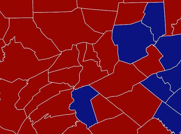
A jquery Map Plugin using resizable Scalable Vector Graphics (SVG) for Rendering Vector Maps. It comes with 4 examples: World Map, Europe Map, Germany Map, and USA Map.
Basic Usage (World Map)
1. Include necessary elements into your <head> section
<link href="jqvmap/jqvmap.css" media="screen" rel="stylesheet" type="text/css" />

<script src="http://ajax.googleapis.com/ajax/libs/jquery/1.7.2/jquery.min.js" type="text/javascript"></script>
<script src="jqvmap/jquery.vmap.js" type="text/javascript"></script>
<script src="jqvmap/maps/jquery.vmap.world.js" type="text/javascript"></script>
<script src="jqvmap/data/jquery.vmap.sampledata.js" type="text/javascript"></script>
2. Call the plugin with options
<script type="text/javascript">
jQuery(document).ready(function() {
jQuery('#vmap').vectorMap({
    map: 'world_en',
    backgroundColor: '#333333',
    color: '#ffffff',
    hoverOpacity: 0.7,
    selectedColor: '#666666',
    enableZoom: true,
    showTooltip: true,
    values: sample_data,
    scaleColors: ['#C8EEFF', '#006491'],
    normalizeFunction: 'polynomial'
});
});
</script>
3. Markup
<div id="vmap" style="width: 600px; height: 400px;"></div>
4. Configuration options
// world_en, usa_en, europe_en and germany_en
map: 'world_en',
backgroundColor: '#a5bfdd',
borderColor: '#818181',
borderOpacity: 0.25,
borderWidth: 1,
color: '#f4f3f0',
enableZoom: true,
hoverColor: '#c9dfaf',
hoverOpacity: null,
normalizeFunction: 'linear',
scaleColors: ['#b6d6ff', '#005ace'],
selectedColor: '#c9dfaf',
selectedRegion: null,
showTooltip: true,
onRegionClick: function(element, code, region)
{
  var message = 'You clicked "'
      + region
      + '" which has the code: '
      + code.toUpperCase();

  alert(message);
}
Change logs:
v1.5.1 (2016-05-18)
- Added a minified css file
- Added Turkey Map and Example File
v1.5 (2016-03-24)
- Fixed bugs in labels and pins where mouse events were not passing through to clickable region
- Removed -merc suffix from map files created by map creator ( fixes #204 )
- Added new example for custom placement of pins ./examples/pins_custom.html
- Fixed onRegionSelect issue not returning region
- Added better support to make regions disabled
v1.4 (2015-12-06)
- Added Touch Support for Mobile Devices
- Added showLabels config option to place ISO codes by default
- Added onResize event handler and fixed resize event binding issues
- Fixed issue when dragging a map and releasing outside map
- Added onLoad event handler
This awesome jQuery plugin is developed by 10bestdesign. For more Advanced Usages, please check the demo page or visit the official website.