Geospatial Mapping Plugin with jQuery - jQuery Geo
| File Size: | 1.1 MB |
|---|---|
| Views Total: | 1440 |
| Last Update: | |
| Publish Date: | |
| Official Website: | Go to website |
| License: | MIT |
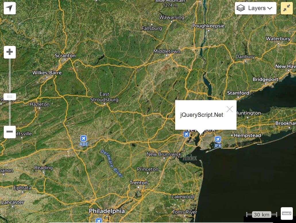
jQuery Geo is a Small, fast and simple JavaScript mapping and geo API as a jQuery plugin which provides a streamlined JavaScript API for a large percentage of your online mapping needs. jQuery Geo can help you display a map on a wep page as quickly as possible.
Basic Usage:
<div id="map" style="height: 320px;"></div>
<script src="http://code.jquery.com/jquery-1.7.2.min.js"></script>
<script src="http://code.jquerygeo.com/jquery.geo-1.0b1.min.js"></script>
<script>$(function() { $( "#map" ).geomap( ); });</script>
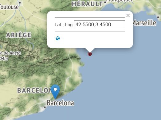
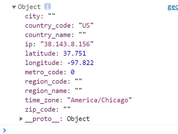
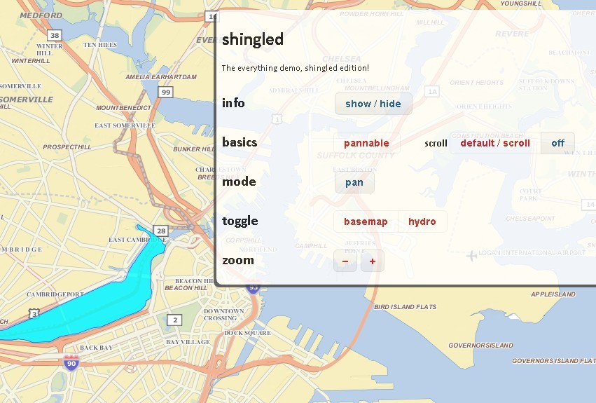
More Demos:
- Inset map
- jQuery Geo logos!
- USA states
- Twitter heat map
- GPS tracking
- Hurricane tracking
- Olympic Volleyball GigaPan
- MA Voting District Demographics
This awesome jQuery plugin is developed by unknown. For more Advanced Usages, please check the demo page or visit the official website.